Reading the Lines

In our continuing Rules of the Road series, we’re familiarizing your with the basics of driving in Italy. In the previous article you learned what documents you need and Italy’s speed limits. This time we’re taking a look at the squiggly lines on the map. While a GPS navigator is a great tool, it isn't *always* accurate in Italy. In fact, sometimes it is downright wrong! So, supplement the technology with an old-fashioned map!
Reading the Lines
To navigate the back roads and byways of Italy you’ll need a decent map. Forget the four-square fold-out sketch that the rental car company gives you; it won’t guide you very far from the Autostrada onto roads less traveled. We recommend purchasing a regional map or an atlas book (called an Atlante Stradale) prior to arriving in Italy. They can also be purchased at Autogrill service areas and bookstores around the country.
Like any roadmap, major highways are demarked by wider lines, with each subsequent narrowing of road surface corresponding with a skinnier line. Maps also provide convenient color-coding to make it easier to decipher the road types.
The wide green lines denote the highway system known as the Autostrada. They are limited-access, high-speed roads, similar to the Interstate Highway system or a turnpike. Tolls are charged, and service areas (area di servizio) are provided at regular intervals. Superstradas are also colored green, and are limited-access highways but do not charge tolls and generally connect a metro area with a nearby Autostrada.
The ubiquitous red roads are known as Strade Statale (SS). For example, the famous via Salaria is the SS4. They are state roads and can be 4 lanes or 2 lanes, depending on the geography of the landscape. Red roads are well-maintained and usually easily traversed.
Yellow lines indicate regional and provincial thoroughfares. Many smaller towns can only be reached on a strada provinciale (SP). Many are squiggly streets taking you up and down hillsides, but frequently offer beautiful views in the process. They are generally two lanes, sometimes a bit less, but are always paved.
The strada bianca is a white road -- colored white on the map as well as on the ground; often, they are, literally, white gravel drives. White roads lead you to tiny hamlets and farms or villas. They are often one-lane country tracks. They can become muddy and rutted so drive slowly and use them only for access to a specific place, not as a through route.
It is mandatory to turn on your headlights while driving on all red and green roadways.
Remembering the colors can help you plan your route, whether you are seeking out the fastest way between two points, or searching for a panoramic spot for a picnic. A good map can help you find both.

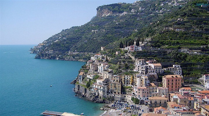 Amalfi Coast
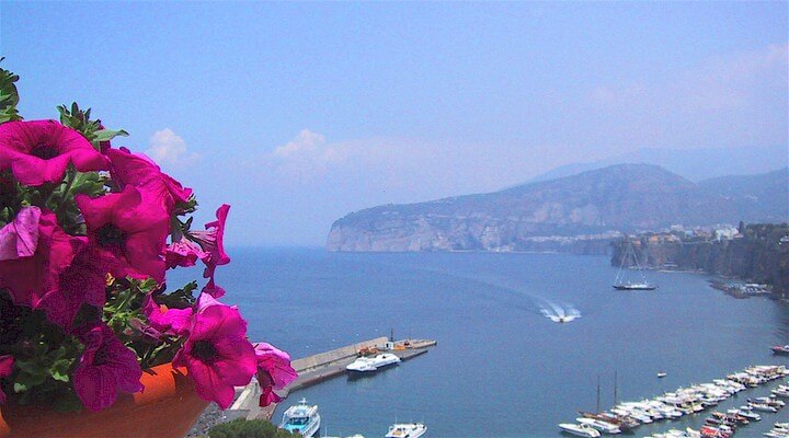 Sorrento Coast
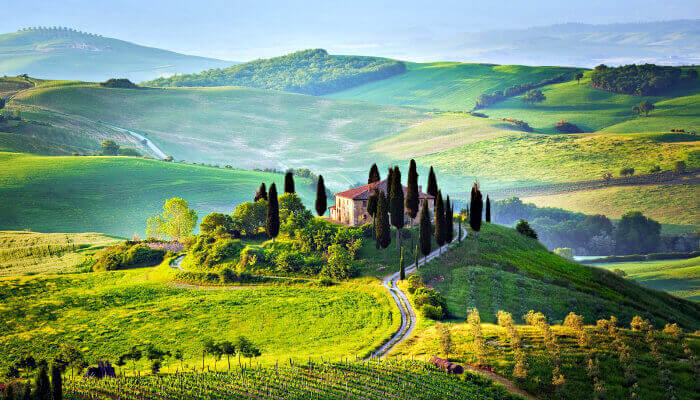 Tuscany
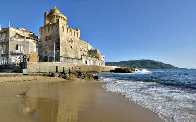 Cilento National Park
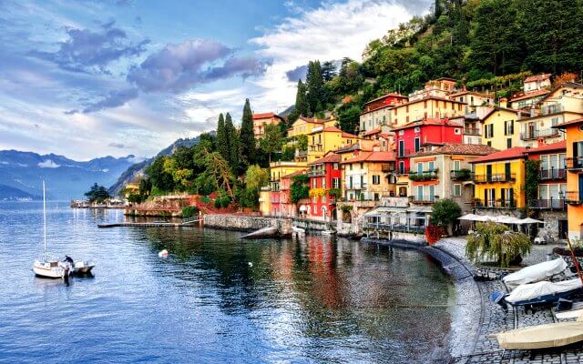 Lake Como
 Rome and Latium
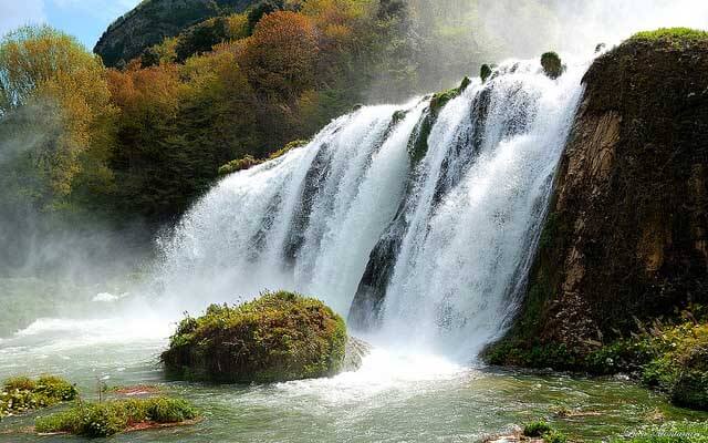 Umbria
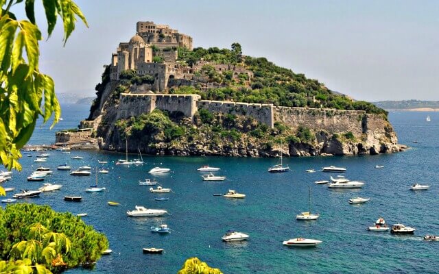 Capri and Ischia
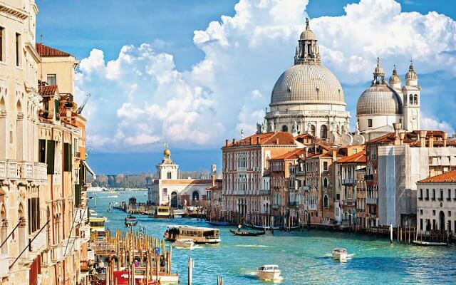 Venice
 Puglia (Apulia)
 Liguria
 Sicily
 Lake Maggiore
 Lombardy
 Sardinia
 Lake Garda
 Abruzzo and Marche
 Calabria


